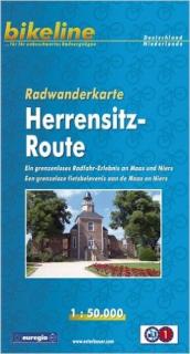
Bikeline cykloturistická mapa HERENSITZ-ROUTE v mierke 1:50tis - Esterbauer
Ein grenzenloses Radfahr-Erlebnis an Maas und Niers
Skladaná cykloturistická mapa oblasti Herrensitz pozdĺž rieky Maas a Niers, od Cuijk po Venlo zo severu na juh a od Reek po Issum od západu po východ.
Byciklovanie v pohraničnej oblasti nemecko-holandského Euroregiónu Rhein-Waal medzi Reek, Cuijk, Boxmeer, Goch, Kevelaer, Issum, Straelen a Venlo (Gelderland, Severné Brabantsko, Limburg a Severné Porýnie-Vestfálsko)
Kód mapy: RWK-HERREN
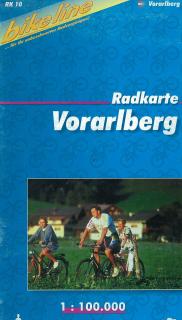
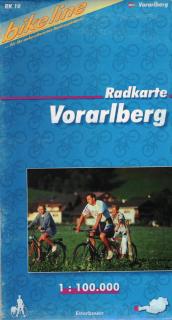
Cykloturistická mapa VORARLBERG v mierke 1:100tis - Esterbauer Skladaná cyklistická mapa západného Rakúska - oblasť Vorarlberg. Kód mapy: RK-A10 Oblasť: Rakúsko - južná časť Bodensee, okolie Bregenz, Dornbirn, Hohenems, Feldkirch, Bludenz, oblasť Klostertal, Gr. Walsertal, Kl.Walsertal, Montafon, Bregenzer Wald Nemecko - hraničná oblasť s Rakúskom, okolie Oberstaufen Švajčiarsko - hraničná oblasť s Rakúskom, okolie Rorschach, Appenzell, oblasť Rätikon až po mesto Chur a sevetnú časť Silvretta.
Cykloturistická mapa Oberbayerisches Alpenvorland v mierke 1:100tis - Esterbauer Skladaná cyklistická mapa južného Bavorska. Kód mapy: RK-BAY16 Oblasť: časť Bavorska medzi riekami Lechh a Inn od západu smerom na východ a od mesta Mníchov po rakúske hranice od severu po juh. Ohraničenie: Sever - Mníchov Juh - hranica Rakúska /Garmisch-Partenkichen, Kufstein/ Východ - Kufstein, Rosenheim Západ - Fussen
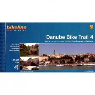
Bikeline Cycling Guide cykloturistický sprievodca DANUBE BIKE TRAIL 4 - Esterbauer Part 4: From Budapest to Belgrade On the Beautiful Blue Danube GPS-Tracks spiral bounding local maps height profiles distance 570 km 120 pages Charakteristika cyklosprievodcu vydavateľom: The fourth part of our Danube Bike Trail series begins in the Hungarian capital Budapest and ends in the Serbian capital Belgrade.With a total length of 2,845 kilometers, the Danube is Europe’s second longest river (after the Volga wi
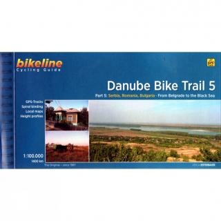
Bikeline Cycling Guide cykloturistický sprievodca DANUBE BIKE TRAIL 5 - Esterbauer Part 5: From Belgrade to the Black Sea GPS-Tracks spiral bounding local maps height profiles distance 1400 km 200 pages Charakteristika cyklosprievodcu vydavateľom: The fifth part of the Danube Bike Trail begins in Belgrade and ends in Romania on the Black Sea.With a total length of 2,845 kilometres, the Danube is Europe’s second longest river (after the Volga with 3,534 kilometres), and the only one on which kilometres
BODENSEE v mierke 1:35tis - Esterbauer Cykloturistické trasy a trasy pre in-line športovanie okolo celého jazera BODENSEE - v jednej brožúre. Podrobná cyklistická mapa Bikeline s cyklosprievodocm v nemeckom jazyku. Farebné fotografie, kilometráž cyklotrás, turistické zaujímavosti,...
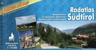
Bikeline cykloturistický sprievodca RADATLAS SÜDTIROL - Esterbauer Radwandern im Eisacktal, Pustertal, Etschtal und im Vinschgau Übernachtungsverzeichnis Spiralbindung 180 Seiten
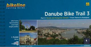
Bikeline Cycling Guide cykloturistický sprievodca DANUBE BIKE TRAIL 3 - Esterbauer PART 3: Slovak and Hungarian Danube - From Vienna to Budapest GPS-Tracks spiral bounding local maps height profiles distance 334 km Charakteristika cyklosprievodcu vydavateľom: Danube Bike Trail 3 The Danube Bike Trail from Passau to Vienna is the most travelled long-distance cycling route in Europe. Every year, thousands of cyclists explore the varied scenery which the route through Austria has to offer. For most cyclist
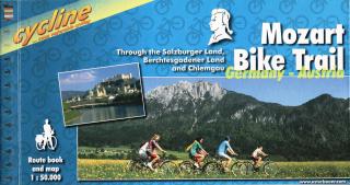
Bikeline cykloturistický sprievodca MOZART BIKE TRAIL - Esterbauer Through the Salzburger Land, Berchtesgadener Land and Chiemgau Stadtpläne Übernachtungsverzeichnis Höhenprofil Spiralbindung 120 Seiten Länge: 430km Charakteristika cyklosprievodcu vydavateľom: Salzkammergut, Chiemgau and Tyrol. These three regions along the Austrian-German border dazzle with stunning landscapes, verdant Alpine pastures, meadows filled with wildflowers, crisp clean air and refreshing lakes. The lively city of Salzburg, h
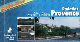
Bikeline cykloturistický sprievodca RADATLAS PROVENCE - Esterbauer Arles, Nîmes, Avignon, Camargue Stadtpläne Übernachtungsverzeichnis Höhenprofil Spiralbindung Länge: 448 km Charakteristika cyklosprievodcu vydavateľom: Provence – The name alone sounds inviting to every traveller. Let yourself be enchanted by ancient towns and historic monasteries, by the rich scent from fields of lavender, the charm of tiny villages and French joie de vivre. A refreshing plunge into the Mediterranean is just one of the
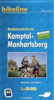
Bikeline skladaná cykloturistická mapa Kamptal-Manhartsberg v mierke 1:50tis - Esterbauer Skladaná cykloturistická mapa oblasti Kamptal-Manhartsberg Kód mapy: RWK-KAMP Charakteristika mapy vydavateľom: Wir haben für Sie ein dichtes Netz an Radrouten und Radwegen recherchiert, das es Ihnen ermöglicht, die gewählte Region intensiv mit dem Fahrrad zu erleben. Neben den wichtigsten Radfernwegen sind in der Karte noch zahlreiche zusätzliche Langstreckenverbindungen eingezeichnet, so dass ein ausgewogenes Haup
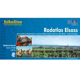
Bikeline cykloturistický sprievodca RADREGION ELSASS - Esterbauer Grenzenloses Raderlebnis zwischen Pfälzerwald und Jura, dem Rhein und Lothringen Stadtpläne Übernachtungsverzeichnis Hohenprofil Spiralbindung 180 Seiten Länge: 1530km Charakteristika cyklosprievodcu vydavateľom: Das Elsass ist nicht nur ein Schlaraffenland für Feinschmecker und Weinkenner – auch landschaftlich ist diese Oberrheinregion äußerst vielfältig und bietet für jeden Radler eine geeignete Tour. Im Radatlas Elsass finden Sie eine
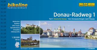
Bikeline Radtourenbuch cykloturistický sprievodca DONAU RADWEG TEIL 1 - Esterbauer Teil 1: Deutsche Donau. Von Donaueschingen nach Passau GPS-Tracks Spiralbindung Stadtpläne Übernachtungsverzeichnis Höhenprofil, Länge 590 km 160 Seiten Donau-Radweg 1 Die Landstriche entlang der deutschen Donau gehören zu den schönsten Flusslandschaften des Kontinents. Neben zahlreichen unberührten Augebieten locken auch viele kulturelle Sehenswürdigkeiten, vor allem der Barock hat seine pompösen Spuren hinterlassen. Da
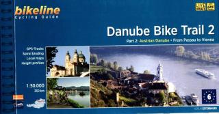
Bikeline Cycling Guide cykloturistický sprievodca DANUBE BIKE TRAIL 2 - Esterbauer PART 2: Austrian Danube - From Passau to Vienna GPS-Tracks spiral bounding local maps height profiles distance 320 km 160 pages Charakteristika cyklosprievodcu vydavateľom: In the last decade the Danube bike trail has emerged as Europe’s most important long-distance bicycle touring route. Its popularity is due primarily to the Danube’s natural beauty and the wealth of cultural and historical sites that line its banks. B
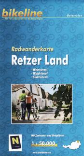
Bikeline cykloturistická mapa Retzer Land v mierke 1:50tis - Esterbauer Skladaná cykloturistická mapa časti Weinviertel - Waldviertel - Südmähren. Kód mapy: RWK-RETZ Oblasť: Weinviertel - Waldviertel - Južná Morava sever / Česká republika po vodnú nádrž Vranov, Národný park Podyjí východ / Česká republika Znojmo, Rakúsko Haugsdorf, Guntersdorf juh / Rakúsko, Eggenburg západ / Rakúsko, Langau Charakteristika mapy vydavateľom: Wir haben für Sie ein dichtes Netz an Radrouten und Radwegen recherchiert, das e
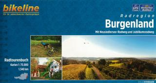
Bikeline Cycling Guide cykloturistický sprievodca BURGENLAND - Esterbauer Mit Neusiedlersee-Radweg und Jubiläumsradweg Stadtpläne Übernachtungsverzeichnis Höhenprofil Spiralbindung 160 Seiten Länge: 1340km Charakteristika cyklosprievodcu vydavateľom: Das östlichste und einwohnermäßig kleinste Bundesland Österreichs grenzt im Norden an das Pressburger Land, im Osten an Ungarn, im Süden an Slowenien und im Westen an die Steiermark und Niederösterreich. Das Burgenland eignet sich bestens als Radlerland. In