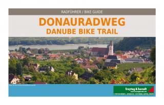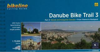
Bikeline Cycling Guide cykloturistický sprievodca DANUBE BIKE TRAIL 3 - Esterbauer
PART 3: Slovak and Hungarian Danube - From Vienna to Budapest
GPS-Tracks
spiral bounding
local maps
height profiles
distance 334 km
Charakteristika cyklosprievodcu vydavateľom:
Danube Bike Trail 3
The Danube Bike Trail from Passau to Vienna is the most travelled long-distance cycling route in Europe. Every year, thousands of cyclists explore the varied scenery which the route through Austria has to offer. For most cyclists the journey ends in the capital Vienna (Wien). But the continuation of the Danube Bike Trail through Slovakia and into Hungary, to the city of Budapest, is accordingly quieter and more idyllic. One can endulge the senses while cycling through riverside forests, quiet villages and historic towns where the Iron Curtain once divided Europe in two; all this while crossing two borders without even needing to present a passport.
The Route
Höhenprofil:
Length
The total length of the Danube Bike Trail from Vienna to Budapest is 310 kilometers on the Slovak side of the river, and 334 kilometers on the Hungarian side. This does not include side trips and alternative routes.
Surface quality and traffic
In Austria, all but a very short section is well developed, mostly following a paved path without motorized traffic on the Hubertusdamm. Completion of the major hydro-electric plant on the Danube in Slovakia has also resulted in outstanding paved bicycle paths on the crowns of the dykes on both sides of the river. The bicycle path is only fully completed to Medved’ov on the right side and for this reason, only the route on the right side is described in this guide. Between Medved’ov and Štúrovo the route alternates between public roads and paths along the river, some of which are not paved and difficult to negotiate. Hungary has undertaken significant improvements. You will mostly be riding on quiet roads and newly constructed bicycle paths. Only three shorter sections of unpaved paths remain, which can become difficult to negotiate in wet weather. Sections which run along roads with heavy traffic are luckily quite rare and are mostly quite short. Even the heavy city traffic in Budapest is mostly avoided by the bicycle path along the Danube.
Signage
Signage marking the route varies from country to country. In Austria, the Danube Bike Trail is uniformly marked with large green rectangular signs. Slovakia uses the same signs as far as Medved’ov, although the signage is incomplete and not always uniform. The Danube Bike Trail in Hungary is now, as part of the EuroVelo-Route 6, completely signposted. The are two signs in use: green signs along completed bicycle paths and yellow signs where the route runs along roads or poor quality paths and temporary routes.
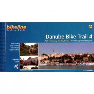
Bikeline Cycling Guide cykloturistický sprievodca DANUBE BIKE TRAIL 4 - Esterbauer Part 4: From Budapest to Belgrade On the Beautiful Blue Danube GPS-Tracks spiral bounding local maps height profiles distance 570 km 120 pages Charakteristika cyklosprievodcu vydavateľom: The fourth part of our Danube Bike Trail series begins in the Hungarian capital Budapest and ends in the Serbian capital Belgrade.With a total length of 2,845 kilometers, the Danube is Europe’s second longest river (after the Volga wi
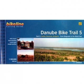
Bikeline Cycling Guide cykloturistický sprievodca DANUBE BIKE TRAIL 5 - Esterbauer Part 5: From Belgrade to the Black Sea GPS-Tracks spiral bounding local maps height profiles distance 1400 km 200 pages Charakteristika cyklosprievodcu vydavateľom: The fifth part of the Danube Bike Trail begins in Belgrade and ends in Romania on the Black Sea.With a total length of 2,845 kilometres, the Danube is Europe’s second longest river (after the Volga with 3,534 kilometres), and the only one on which kilometres
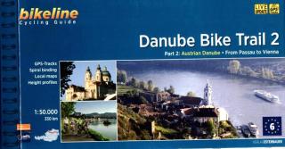
Bikeline Cycling Guide cykloturistický sprievodca DANUBE BIKE TRAIL 2 - Esterbauer PART 2: Austrian Danube - From Passau to Vienna GPS-Tracks spiral bounding local maps height profiles distance 320 km 160 pages Charakteristika cyklosprievodcu vydavateľom: In the last decade the Danube bike trail has emerged as Europe’s most important long-distance bicycle touring route. Its popularity is due primarily to the Danube’s natural beauty and the wealth of cultural and historical sites that line its banks. B
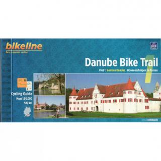
Bikeline Cycling Guide cykloturistický sprievodca DANUBE BIKE TRAIL 1 - Esterbauer PART 1: German Danube - Donaueschingen to Passau GPS-Tracks spiral bounding local maps height profiles distance 580 km 152 pages Charakteristika cyklosprievodcu vydavateľom: The Danube is not merely one of Europe’s great rivers. At 2,888 kilometers from the source of the Breg and 2,845 kilometers from the confluence of the Breg, Brigach and Danube Spring in Donaueschingen, it is the second longest river in Europe; only t
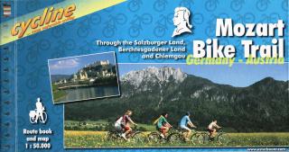
Bikeline cykloturistický sprievodca MOZART BIKE TRAIL - Esterbauer Through the Salzburger Land, Berchtesgadener Land and Chiemgau Stadtpläne Übernachtungsverzeichnis Höhenprofil Spiralbindung 120 Seiten Länge: 430km Charakteristika cyklosprievodcu vydavateľom: Salzkammergut, Chiemgau and Tyrol. These three regions along the Austrian-German border dazzle with stunning landscapes, verdant Alpine pastures, meadows filled with wildflowers, crisp clean air and refreshing lakes. The lively city of Salzburg, h
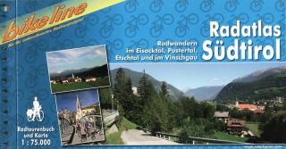
Bikeline cykloturistický sprievodca RADATLAS SÜDTIROL - Esterbauer Radwandern im Eisacktal, Pustertal, Etschtal und im Vinschgau Übernachtungsverzeichnis Spiralbindung 180 Seiten
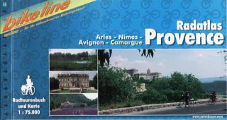
Bikeline cykloturistický sprievodca RADATLAS PROVENCE - Esterbauer Arles, Nîmes, Avignon, Camargue Stadtpläne Übernachtungsverzeichnis Höhenprofil Spiralbindung Länge: 448 km Charakteristika cyklosprievodcu vydavateľom: Provence – The name alone sounds inviting to every traveller. Let yourself be enchanted by ancient towns and historic monasteries, by the rich scent from fields of lavender, the charm of tiny villages and French joie de vivre. A refreshing plunge into the Mediterranean is just one of the
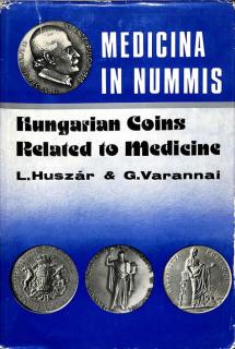
Kom The present catalogue lists medals, plaquettes, coins, tokens, badges, and decorations issued or made to commemorate medical events or in connection with any health affair. Most of the two thousand odd items described here commemorate Hungarian physicians, the rest, divided into 31 groups, illustrates the history of Hungarian medicine from the 16 th century up to the present. The collection and presentation of these peerless relics of Hungarian cultural and medical history will surely interest not onl
Cykloturistická mapa v mierke 1:125tis, vydavateľa Freytag & Berndt Zobrazuje trasu PASSAU - VIEDEN - BRATISLAVA Cykloturistická mapa 1 : 125 000, cykloatlas špirálové viazanie. Kompaktný rozmer, vhodný pre cyklistické tašky. Obsahuje: cyklistické trasy v danej oblasti pre cestnú a horskú cyklistiku s uvedením výškových profilov popísaná obtiažnosť, vzdialenosť cyklotrás, doba jazdy dôležité adresy a kontakty zaujímavé tipy na zájazdy s popismi trás - v jazyku nemeckom a anglickom + farebné fotog
BODENSEE v mierke 1:35tis - Esterbauer Cykloturistické trasy a trasy pre in-line športovanie okolo celého jazera BODENSEE - v jednej brožúre. Podrobná cyklistická mapa Bikeline s cyklosprievodocm v nemeckom jazyku. Farebné fotografie, kilometráž cyklotrás, turistické zaujímavosti,...
Bikeline cykloturistický sprievodca MOUNTAIN BIKE GUIDE NATIONALPARK HOHE TAUERN - Esterbauer Radwandern rund um Lienz Stadtpläne Übernachtungsverzeichnis Ringbuch 140 Seiten Länge: 860km Charakteristika cyklosprievodcu vydavateľom: Länge Insgesamt betragen die Tourenlängen der in diesem Mountainbike-Guide erfassten 41 Touren beinahe 860 Kilometer. Die kürzeste Tour hat eine Länge von 6,3 Kilometern, die längste ist 45,4 Kilometer lang.Mountainbiken in der Ferienregion Nationalpark Hohe Tauern In der Fe
When the Soviet Army entered Vienna in the closing days of World War II, every animal was gone from the Vienna Zoo, they were probably eaten by the starving citizens of the city. In this historical novel of the Nazi takeover of Austria and Soviet occupation of Vienna, the liberation of the Vienna Zoo is re-enaced by two Viennese university students in 1967..... Autor: John Irving
Cykloturistická mapa VORARLBERG v mierke 1:100tis - Esterbauer Skladaná cyklistická mapa západného Rakúska - oblasť Vorarlberg. Kód mapy: RK-A10 Oblasť: Rakúsko - južná časť Bodensee, okolie Bregenz, Dornbirn, Hohenems, Feldkirch, Bludenz, oblasť Klostertal, Gr. Walsertal, Kl.Walsertal, Montafon, Bregenzer Wald Nemecko - hraničná oblasť s Rakúskom, okolie Oberstaufen Švajčiarsko - hraničná oblasť s Rakúskom, okolie Rorschach, Appenzell, oblasť Rätikon až po mesto Chur a sevetnú časť Silvretta.
Na březích Dunaje, s Budínskými vrchy za zády se rozprostírá Budapešť, město obdařené mnoha krásami. Královna Dunaje ožívá coby centrum zábavy střední Evropy.
Cykloturistická mapa Oberbayerisches Alpenvorland v mierke 1:100tis - Esterbauer Skladaná cyklistická mapa južného Bavorska. Kód mapy: RK-BAY16 Oblasť: časť Bavorska medzi riekami Lechh a Inn od západu smerom na východ a od mesta Mníchov po rakúske hranice od severu po juh. Ohraničenie: Sever - Mníchov Juh - hranica Rakúska /Garmisch-Partenkichen, Kufstein/ Východ - Kufstein, Rosenheim Západ - Fussen