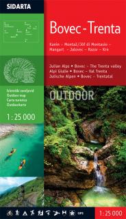
Bovec,Trenta Outdoor (Kanin-Montaž-Mangart-Jalovec-Razor-Krn) 1:25t outdoor mapa (Turistická mapa Julské Alpy v mierke 1:25.000, zaberá územie Bovec a Trenta)
The map is printed on both sides. It covers the area of the Bovec basin, the Trenta valley and the Jôf Fuart and Montasio groups in the Western Julian Alps. Beside the waymarked mountain paths, unmarked trails the map includes also trails Via Alpina, Soča trail, Alpe-Adria, The walk of Peace and waymarked foothpaths, bicycle routes, tralsports climbing areas, entry and exit points for kayakers, natural and cultural points of interest and paragliding take-off sites. GPS, WGS 84.
- Obchod: www.mapysveta.sk
- Cena: 10.90 Eur
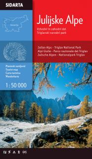
Julijske Alpe 1:50t turistická mapa (Julské Alpy, východná a západná časť, Triglav národný park v mierke 1:50.000)
Julijske Alpe Eastern & Western part, Triglav national park 1:50.000 One of the few maps that covers the entire territory of the Julian Alps, from the westernmost Jôf Fuart on the Italian side to the Lake Bled in the east. Beside the waymarked paths, unmarked trails and ski tours the map includes also: sports climbing areas, natural and cultural points of interest and paragliding take-off sites. GPS, WGS84.
- Obchod: www.mapysveta.sk
- Cena: 13.90 Eur
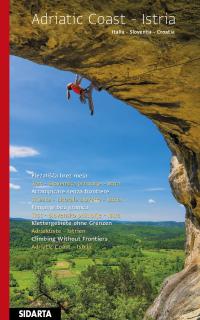
Jadranské pobrežie, Istria Lezenie bez hraníc (Italia, Slovenija, Chorvátsko) (Horolezecký sprievodca v jazyku anglickom Lezenie bez hraníc - Jadranské pobrežie, Istria /Taliansko, Slovinsko, Chorvátsko/)
Lezenie bez hranícJadranské pobrežie - IstriaAKTUALIZOVANÉ VYDANIE JESEN 201731 lezeckých oblastíVyše 2 800 trás a oveľa viac ...Zväzok predstavuje útesy pozdĺž jadranského pobrežia v jednej z najatraktívnejších stredomorských oblastí, ktorá sa rozprestiera v troch rôznych krajinách - Taliansku, Slovinsku a Chorvátsku.Okrem troch miestnych jazykov, taliančiny, slovinčiny a chorvátčiny, je kniha preložená aj do nemčiny a angličtiny.
- Obchod: www.mapysveta.sk
- Cena: 35.90 Eur


