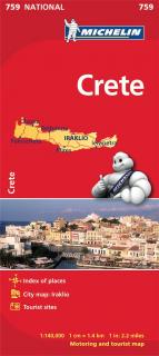
759 Kréta (Crete) 1:140t mapa MICHELIN

759 Kréta (Crete) 1:140t mapa MICHELIN

Updated Updated regularly, MICHELIN National Map Crete will give you an overall picture of your journey thanks to its clear and accurate mapping scale 1/140,000. Map will help you easily plan your safe and enjoyable journey in Crete thanks to a comprehensive key, a complete name index as well a clever time & distance chart. Michelin's driving information will help you navigate safely in all circumstances.
With MICHELIN National Maps, find more than just your way!
MICHELIN NATIONAL MAPS feature:* Up-to-date mapping * A scale adapted to the size of the country * A clear and comprehensive key * Distance and time chart * Place name index * Driving and road safety information * Tourist sights information
 

kúpiť
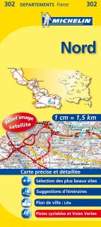
302 Nord, North (Francúzsko) 1:150tis local mapa MICHELIN

302 Nord, North (Francúzsko) 1:150tis local mapa MICHELIN

The MICHELIN Nord local map, scale 1 / 150 000 is the ideal companion to fully explore this France local area and provides star-rated Michelin tourist itineraries and attractions, as well as impressive 3D relief mapping. MICHELIN local maps are perfect for cyclist and outdoor enthusiasts with over 20 leisure symbols, extensive coverage of cycling paths and nature trails. With MICHELIN local maps, find more than just your way!

kúpiť
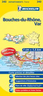
340 Bouches-du-Rhône, Var 2016 (Francúzsko) 1:150tis local mapa MICHELIN

340 Bouches-du-Rhône, Var 2016 (Francúzsko) 1:150tis local mapa MICHELIN

The MICHELIN Bouches-du-RhĂ´ne, Var local map, scale 1 /150,000 is the ideal companion to fully explore southern France and provides star-rated Michelin tourist itineraries and attractions, as well as impressive 3D relief mapping. MICHELIN local maps are perfect for cyclists and outdoor enthusiasts with over 20 leisure symbols, extensive coverage of cycling paths and nature trails. With MICHELIN local maps, find more than just your way!

kúpiť
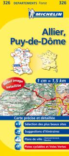
326 Allier, Puy-de-Dôme 2016 (Francúzsko) 1:150tis local mapa MICHELIN

326 Allier, Puy-de-Dôme 2016 (Francúzsko) 1:150tis local mapa MICHELIN

The MICHELIN Allier, Puy-de-DĂ´me local map, scale 1/150,000 is the ideal companion to fully explore this French area and provides star-rated Michelin tourist itineraries and attractions, as well as impressive 3D relief mapping. MICHELIN local maps are perfect for cyclists and outdoor enthusiasts with over 20 leisure symbols, extensive coverage of cycling paths and nature trails. With MICHELIN local maps, find more than just your way!

kúpiť
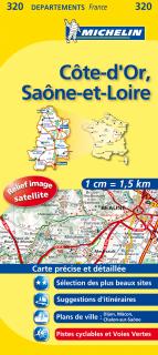
320 Côte-d'Or, Saône-et-Loire 2016 (Francúzsko) 1:150tis local mapa MICHELIN

320 Côte-d'Or, Saône-et-Loire 2016 (Francúzsko) 1:150tis local mapa MICHELIN

The MICHELIN CĂ´te-d'Or, SaĂ´ne-et-Loire local map, scale 1/150,000 is the ideal companion to fully explore these French local areas and provides star-rated Michelin tourist itineraries and attractions, as well as impressive 3D relief mapping. MICHELIN local maps are perfect for cyclists and outdoor enthusiasts with over 20 leisure symbols, extensive coverage of cycling paths and nature trails. With MICHELIN local maps, find more than just your way!

kúpiť
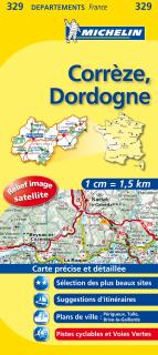
329 Corrèze, Dordogne 2016 (Francúzsko) 1:150tis local mapa MICHELIN

329 Corrèze, Dordogne 2016 (Francúzsko) 1:150tis local mapa MICHELIN

The MICHELIN Corrèze, Dordogne local map, scale 1/150,000 is the ideal companion to fully explore these popular French areas and provides star-rated Michelin tourist itineraries and attractions, as well as impressive 3D relief mapping. MICHELIN local maps are perfect for cyclists and outdoor enthusiasts with over 20 leisure symbols, extensive coverage of cycling paths and nature trails. With MICHELIN local maps, find more than just your way!

kúpiť
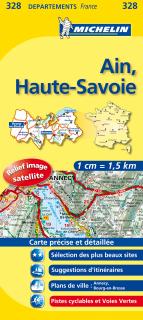
328 Ain, Haute-Savoie 2016 (Francúzsko) 1:150tis local mapa MICHELIN

328 Ain, Haute-Savoie 2016 (Francúzsko) 1:150tis local mapa MICHELIN

The MICHELIN Ain, Haute-Savoie local map, scale 1/150,000 is the ideal companion to fully explore this French area and provides star-rated Michelin tourist itineraries and attractions, as well as impressive 3D relief mapping. MICHELIN local maps are perfect for cyclists and outdoor enthusiasts with over 20 leisure symbols, extensive coverage of cycling paths and nature trails. With MICHELIN local maps, find more than just your way!

kúpiť
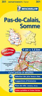
301 Pas-de-Calais, Somme (Francúzsko) 1:150tis local mapa MICHELIN

301 Pas-de-Calais, Somme (Francúzsko) 1:150tis local mapa MICHELIN

The MICHELIN Pas-de-Calais, Somme local map, scale 1/150,000 is the ideal companion to fully explore this northern part of France and provides star-rated Michelin tourist itineraries and attractions, as well as impressive 3D relief mapping. MICHELIN local maps are perfect for cyclist and outdoor enthusiasts with over 20 leisure symbols, extensive coverage of cycling paths and nature trails. With MICHELIN local maps, find more than just your way!

kúpiť
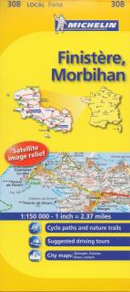
308 Finistère, Morbihan 2016 (Francúzsko) 1:150tis local mapa MICHELIN

308 Finistère, Morbihan 2016 (Francúzsko) 1:150tis local mapa MICHELIN

The MICHELIN Finistére, Morbihan local map, scale 1/150,000 is the ideal companion to fully explore Southern Brittany and provides star-rated Michelin tourist itineraries and attractions, as well as impressive 3D relief mapping. MICHELIN local maps are perfect for cyclists and outdoor enthusiasts with over 20 leisure symbols, extensive coverage of cycling paths and nature trails. With MICHELIN local maps, find more than just your way!

kúpiť
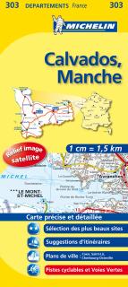
303 Calvados, Manche (Francúzsko) 1:150tis local mapa MICHELIN

303 Calvados, Manche (Francúzsko) 1:150tis local mapa MICHELIN

The MICHELIN Calvados, Manche local map, scale 1/150,000 is the ideal companion to fully explore the coastal part of Normandy and provides star-rated Michelin tourist itineraries and attractions, as well as impressive 3D relief mapping. MICHELIN local maps are perfect for cyclists and outdoor enthusiasts with over 20 leisure symbols, extensive coverage of cycling paths and nature trails. With MICHELIN local maps, find more than just your way!

kúpiť
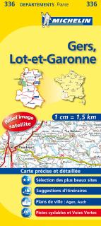
336 Gers, Lot-et-Garonne 2016 (Francúzsko) 1:150tis local mapa MICHELIN

336 Gers, Lot-et-Garonne 2016 (Francúzsko) 1:150tis local mapa MICHELIN

The MICHELIN Gers, Lot-et-Garonne local map, scale 1/150,000 is the ideal companion to fully explore this popular area of France and provides star-rated Michelin tourist itineraries and attractions, as well as impressive 3D relief mapping. MICHELIN local maps are perfect for cyclists and outdoor enthusiasts with over 20 leisure symbols, extensive coverage of cycling paths and nature trails. With MICHELIN local maps, find more than just your way!

kúpiť
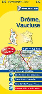
332 Drôme, Vaucluse 2016 (Francúzsko) 1:150tis local mapa MICHELIN

332 Drôme, Vaucluse 2016 (Francúzsko) 1:150tis local mapa MICHELIN

The MICHELIN Drome, Vaucluse local map, scale 1/150,000 is the ideal companion to fully explore these Southern areas of France and provides star-rated Michelin tourist itineraries and attractions, as well as impressive 3D relief mapping. MICHELIN local maps are perfect for cyclists and outdoor enthusiasts with over 20 leisure symbols, extensive coverage of cycling paths and nature trails. With MICHELIN local maps, find more than just your way!

kúpiť
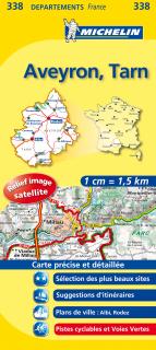
338 Aveyron, Tarn 2016 (Francúzsko) 1:150tis local mapa MICHELIN

338 Aveyron, Tarn 2016 (Francúzsko) 1:150tis local mapa MICHELIN

The MICHELIN Aveyron, Tarn local map, scale 1 / 150 000 is the ideal companion to fully explore these French touristic areas and provides star-rated Michelin tourist itineraries and attractions, as well as impressive 3D relief mapping. MICHELIN local maps are perfect for cyclists and outdoor enthusiasts with over 20 leisure symbols, extensive coverage of cycling paths and nature trails. With MICHELIN local maps, find more than just your way!

kúpiť
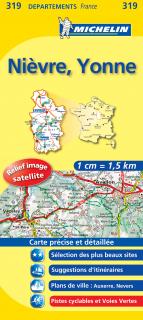
319 Nièvre, Yonne 2016 (Francúzsko) 1:150tis local mapa MICHELIN

319 Nièvre, Yonne 2016 (Francúzsko) 1:150tis local mapa MICHELIN

The MICHELIN Niévre, Yonne local map, scale 1 / 150 000 is the ideal companion to fully explore these French local areas and provides star-rated Michelin tourist itineraries and attractions, as well as impressive 3D relief mapping. MICHELIN local maps are perfect for cyclist and outdoor enthusiasts with over 20 leisure symbols, extensive coverage of cycling paths and nature trails. With MICHELIN local maps, find more than just your way!

kúpiť
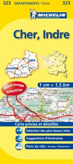
323 Cher, Indre 2016 (Francúzsko) 1:150tis local mapa MICHELIN

323 Cher, Indre 2016 (Francúzsko) 1:150tis local mapa MICHELIN

The MICHELIN Cher, Indre local map, scale 1/150,000 is the ideal companion to fully explore these French local areas and provides star-rated Michelin tourist itineraries and attractions, as well as impressive 3D relief mapping. MICHELIN local maps are perfect for cyclists and outdoor enthusiasts with over 20 leisure symbols, extensive coverage of cycling paths and nature trails. With MICHELIN local maps, find more than just your way!

kúpiť
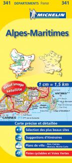
341 Alpes-Maritimes 2016 (Francúzsko) 1:150tis local mapa MICHELIN

341 Alpes-Maritimes 2016 (Francúzsko) 1:150tis local mapa MICHELIN

The MICHELIN Alpes-Maritimes local map, scale 1 / 150 000 is the ideal companion to fully explore this French local area and provides star-rated Michelin tourist itineraries and attractions, as well as impressive 3D relief mapping. MICHELIN local maps are perfect for cyclists and outdoor enthusiasts with over 20 leisure symbols, extensive coverage of cycling paths and nature trails. With MICHELIN local maps, find more than just your way!

kúpiť