Updated regularly, MICHELIN National Map Bulgaria will give you an overall picture of your journey thanks to its clear and accurate mapping scale 1/700,000. Map will help you easily plan your safe and enjoyable journey in Bulgaria thanks to a comprehensive key, a complete name index as well a clever time & distance chart. Michelin's driving information will help you navigate safely in all circumstances.
With MICHELIN National Maps, find more than just your way!
MICHELIN NATIONAL MAPS feature:* Up-to-date mapping * A scale adapted to the size of the country * A clear and comprehensive key * Distance and time chart * Place name index * Driving and road safety information * Tourist sights information
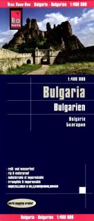
Bulharsko 1:400.000 skladaná automapa vydavateľa Reise Know-How- laminovaný povrch mapy t.j. vysoká odolnosť proti roztrhnutiu- laminovaný povrch mapy t.j. vodotesný povrch mapy- laminovaný povrch mapy t.j. popisovateľný ceruzkou- obálka je kartónová a odnímateľná. Zbaľte si na cesty len mapu bez obalu. Kartografické informácie:- dobré čitateľná mapa, zameriava sa na najdôležitejšie informácie pre cestujúcich- namiesto zatienenia použité farebné výšky- výškopis vyznačený s nadmorskými výškami- klasifiko
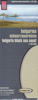
Čiernomorské pobrežie v mierke 1:130.000 skladaná automapa vydavateľa Reise Know-How- laminovaný povrch mapy t.j. vysoká odolnosť proti roztrhnutiu- laminovaný povrch mapy t.j. vodotesný povrch mapy- laminovaný povrch mapy t.j. popisovateľný ceruzkou- obálka je kartónová a odnímateľná. Zbaľte si na cesty len mapu bez obalu. Kartografické informácie:- dobré čitateľná mapa, zameriava sa na najdôležitejšie informácie pre cestujúcich- namiesto zatienenia použité farebné výšky- výškopis vyznačený s nadmorský
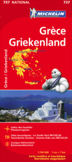
Updated regularly, MICHELIN National Map Greece will give you an overall picture of your journey thanks to its clear and accurate mapping scale 1/700,000. Map will help you easily plan your safe and enjoyable journey in Greece thanks to a comprehensive key, a complete name index as well a clever time & distance chart. Michelin's driving information will help you navigate safely in all circumstances. In addition, MICHELIN National Map Greece is cross-referenced with the famous MICHELIN Green Guide
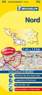
The MICHELIN Nord local map, scale 1 / 150 000 is the ideal companion to fully explore this France local area and provides star-rated Michelin tourist itineraries and attractions, as well as impressive 3D relief mapping. MICHELIN local maps are perfect for cyclist and outdoor enthusiasts with over 20 leisure symbols, extensive coverage of cycling paths and nature trails. With MICHELIN local maps, find more than just your way!
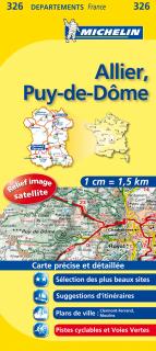
The MICHELIN Allier, Puy-de-DĂ´me local map, scale 1/150,000 is the ideal companion to fully explore this French area and provides star-rated Michelin tourist itineraries and attractions, as well as impressive 3D relief mapping. MICHELIN local maps are perfect for cyclists and outdoor enthusiasts with over 20 leisure symbols, extensive coverage of cycling paths and nature trails. With MICHELIN local maps, find more than just your way!
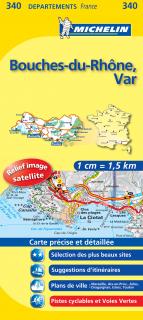
The MICHELIN Bouches-du-RhĂ´ne, Var local map, scale 1 /150,000 is the ideal companion to fully explore southern France and provides star-rated Michelin tourist itineraries and attractions, as well as impressive 3D relief mapping. MICHELIN local maps are perfect for cyclists and outdoor enthusiasts with over 20 leisure symbols, extensive coverage of cycling paths and nature trails. With MICHELIN local maps, find more than just your way!
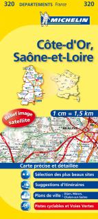
The MICHELIN CĂ´te-d'Or, SaĂ´ne-et-Loire local map, scale 1/150,000 is the ideal companion to fully explore these French local areas and provides star-rated Michelin tourist itineraries and attractions, as well as impressive 3D relief mapping. MICHELIN local maps are perfect for cyclists and outdoor enthusiasts with over 20 leisure symbols, extensive coverage of cycling paths and nature trails. With MICHELIN local maps, find more than just your way!
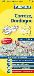
The MICHELIN Corrèze, Dordogne local map, scale 1/150,000 is the ideal companion to fully explore these popular French areas and provides star-rated Michelin tourist itineraries and attractions, as well as impressive 3D relief mapping. MICHELIN local maps are perfect for cyclists and outdoor enthusiasts with over 20 leisure symbols, extensive coverage of cycling paths and nature trails. With MICHELIN local maps, find more than just your way!
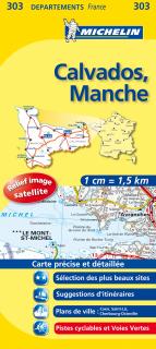
The MICHELIN Calvados, Manche local map, scale 1/150,000 is the ideal companion to fully explore the coastal part of Normandy and provides star-rated Michelin tourist itineraries and attractions, as well as impressive 3D relief mapping. MICHELIN local maps are perfect for cyclists and outdoor enthusiasts with over 20 leisure symbols, extensive coverage of cycling paths and nature trails. With MICHELIN local maps, find more than just your way!
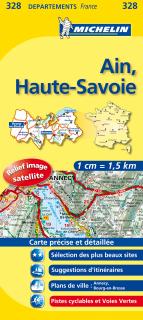
The MICHELIN Ain, Haute-Savoie local map, scale 1/150,000 is the ideal companion to fully explore this French area and provides star-rated Michelin tourist itineraries and attractions, as well as impressive 3D relief mapping. MICHELIN local maps are perfect for cyclists and outdoor enthusiasts with over 20 leisure symbols, extensive coverage of cycling paths and nature trails. With MICHELIN local maps, find more than just your way!
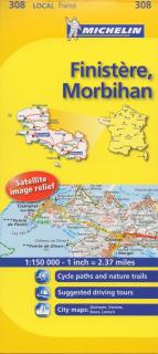
The MICHELIN Finistére, Morbihan local map, scale 1/150,000 is the ideal companion to fully explore Southern Brittany and provides star-rated Michelin tourist itineraries and attractions, as well as impressive 3D relief mapping. MICHELIN local maps are perfect for cyclists and outdoor enthusiasts with over 20 leisure symbols, extensive coverage of cycling paths and nature trails. With MICHELIN local maps, find more than just your way!
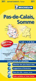
The MICHELIN Pas-de-Calais, Somme local map, scale 1/150,000 is the ideal companion to fully explore this northern part of France and provides star-rated Michelin tourist itineraries and attractions, as well as impressive 3D relief mapping. MICHELIN local maps are perfect for cyclist and outdoor enthusiasts with over 20 leisure symbols, extensive coverage of cycling paths and nature trails. With MICHELIN local maps, find more than just your way!
The MICHELIN Gers, Lot-et-Garonne local map, scale 1/150,000 is the ideal companion to fully explore this popular area of France and provides star-rated Michelin tourist itineraries and attractions, as well as impressive 3D relief mapping. MICHELIN local maps are perfect for cyclists and outdoor enthusiasts with over 20 leisure symbols, extensive coverage of cycling paths and nature trails. With MICHELIN local maps, find more than just your way!
The MICHELIN Drome, Vaucluse local map, scale 1/150,000 is the ideal companion to fully explore these Southern areas of France and provides star-rated Michelin tourist itineraries and attractions, as well as impressive 3D relief mapping. MICHELIN local maps are perfect for cyclists and outdoor enthusiasts with over 20 leisure symbols, extensive coverage of cycling paths and nature trails. With MICHELIN local maps, find more than just your way!
The MICHELIN Aveyron, Tarn local map, scale 1 / 150 000 is the ideal companion to fully explore these French touristic areas and provides star-rated Michelin tourist itineraries and attractions, as well as impressive 3D relief mapping. MICHELIN local maps are perfect for cyclists and outdoor enthusiasts with over 20 leisure symbols, extensive coverage of cycling paths and nature trails. With MICHELIN local maps, find more than just your way!