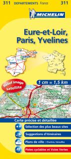
The MICHELIN Eure-et-Loir, Paris, Yvelines local map, scale 1/150,000 is the ideal companion to fully explore Paris surrounding areas and provides star-rated Michelin tourist itineraries and attractions, as well as impressive 3D relief mapping. MICHELIN local maps are perfect for cyclists and outdoor enthusiasts with over 20 leisure symbols, extensive coverage of cycling paths and nature trails. With MICHELIN local maps, find more than just your way!
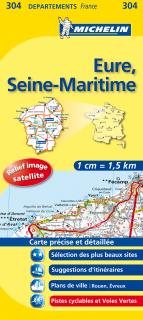
The MICHELIN Eure, Seine-Maritime local map, scale 1/150,000 is the ideal companion to fully explore these French local areas and provides star-rated Michelin tourist itineraries and attractions, as well as impressive 3D relief mapping. MICHELIN local maps are perfect for cyclists and outdoor enthusiasts with over 20 leisure symbols, extensive coverage of cycling paths and nature trails. With MICHELIN local maps, find more than just your way!
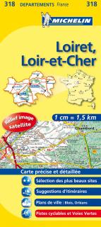
The MICHELIN Loiret, Loir-et-Cher local map, scale 1/150,000 is the ideal companion to fully explore part of France's Loire valley and provides star-rated Michelin tourist itineraries and attractions, as well as impressive 3D relief mapping. MICHELIN local maps are perfect for cyclists and outdoor enthusiasts with over 20 leisure symbols, extensive coverage of cycling paths and nature trails. With MICHELIN local maps, find more than just your way!
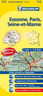
The MICHELIN Essonne, Paris, Seine-et-Marne local map, scale 1/150,000 is the ideal companion to fully explore Paris' surrounding areas and provides star-rated Michelin tourist itineraries and attractions, as well as impressive 3D relief mapping. MICHELIN local maps are perfect for cyclists and outdoor enthusiasts with over 20 leisure symbols, extensive coverage of cycling paths and nature trails. With MICHELIN local maps, find more than just your way!
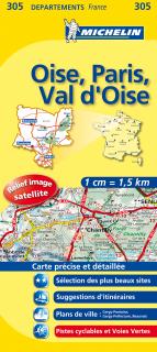
The MICHELIN Oise, Paris, Val-d'Oise local map, scale 1 / 150 000 is the ideal companion to fully explore Paris' northern surrounding area and provides star-rated Michelin tourist itineraries and attractions, as well as impressive 3D relief mapping. MICHELIN local maps are perfect for cyclist and outdoor enthusiasts with over 20 leisure symbols, extensive coverage of cycling paths and nature trails. With MICHELIN local maps, find more than just your way!
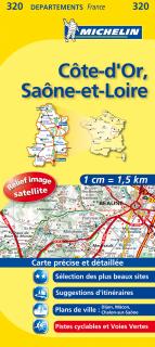
The MICHELIN CĂ´te-d'Or, SaĂ´ne-et-Loire local map, scale 1/150,000 is the ideal companion to fully explore these French local areas and provides star-rated Michelin tourist itineraries and attractions, as well as impressive 3D relief mapping. MICHELIN local maps are perfect for cyclists and outdoor enthusiasts with over 20 leisure symbols, extensive coverage of cycling paths and nature trails. With MICHELIN local maps, find more than just your way!
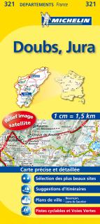
The MICHELIN Doubs, Jura local map, scale 1/150,000 is the ideal companion to fully explore these French local areas and provides star-rated Michelin tourist itineraries and attractions, as well as impressive 3D relief mapping. MICHELIN local maps are perfect for cyclists and outdoor enthusiasts with over 20 leisure symbols, extensive coverage of cycling paths and nature trails. With MICHELIN local maps, find more than just your way!
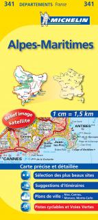
The MICHELIN Alpes-Maritimes local map, scale 1 / 150 000 is the ideal companion to fully explore this French local area and provides star-rated Michelin tourist itineraries and attractions, as well as impressive 3D relief mapping. MICHELIN local maps are perfect for cyclists and outdoor enthusiasts with over 20 leisure symbols, extensive coverage of cycling paths and nature trails. With MICHELIN local maps, find more than just your way!
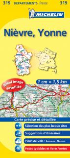
The MICHELIN Niévre, Yonne local map, scale 1 / 150 000 is the ideal companion to fully explore these French local areas and provides star-rated Michelin tourist itineraries and attractions, as well as impressive 3D relief mapping. MICHELIN local maps are perfect for cyclist and outdoor enthusiasts with over 20 leisure symbols, extensive coverage of cycling paths and nature trails. With MICHELIN local maps, find more than just your way!
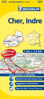
The MICHELIN Cher, Indre local map, scale 1/150,000 is the ideal companion to fully explore these French local areas and provides star-rated Michelin tourist itineraries and attractions, as well as impressive 3D relief mapping. MICHELIN local maps are perfect for cyclists and outdoor enthusiasts with over 20 leisure symbols, extensive coverage of cycling paths and nature trails. With MICHELIN local maps, find more than just your way!
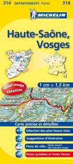
The MICHELIN Haute-SaĂ´ne, Vosges local map, scale 1/150,000 is the ideal companion to fully explore this France's local area and provides star-rated Michelin tourist itineraries and attractions, as well as impressive 3D relief mapping. MICHELIN local maps are perfect for cyclists and outdoor enthusiasts with over 20 leisure symbols, extensive coverage of cycling paths and nature trails. With MICHELIN local maps, find more than just your way!
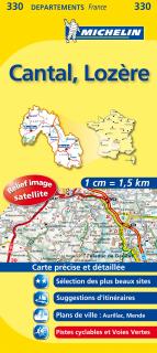
The MICHELIN Cantal, Lozére local map, scale 1 / 150 000 is the ideal companion to fully explore the fabulous France local areas and provides star-rated Michelin tourist itineraries and attractions, as well as impressive 3D relief mapping. MICHELIN local maps are perfect for cyclists and outdoor enthusiasts with over 20 leisure symbols, extensive coverage of cycling paths and nature trails. With MICHELIN local maps, find more than just your way!
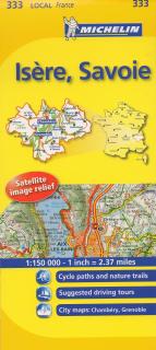
The MICHELIN Isere, Savoie local map, scale 1/150,000 is the ideal companion to fully explore this local area close to the Alps and provides star-rated Michelin tourist itineraries and attractions, as well as impressive 3D relief mapping. MICHELIN local maps are perfect for cyclists and outdoor enthusiasts with over 20 leisure symbols, extensive coverage of cycling paths and nature trails. With MICHELIN local maps, find more than just your way!
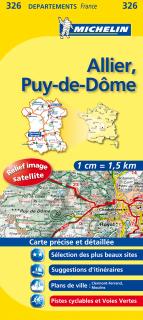
The MICHELIN Allier, Puy-de-DĂ´me local map, scale 1/150,000 is the ideal companion to fully explore this French area and provides star-rated Michelin tourist itineraries and attractions, as well as impressive 3D relief mapping. MICHELIN local maps are perfect for cyclists and outdoor enthusiasts with over 20 leisure symbols, extensive coverage of cycling paths and nature trails. With MICHELIN local maps, find more than just your way!
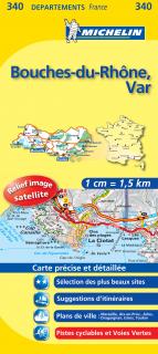
The MICHELIN Bouches-du-RhĂ´ne, Var local map, scale 1 /150,000 is the ideal companion to fully explore southern France and provides star-rated Michelin tourist itineraries and attractions, as well as impressive 3D relief mapping. MICHELIN local maps are perfect for cyclists and outdoor enthusiasts with over 20 leisure symbols, extensive coverage of cycling paths and nature trails. With MICHELIN local maps, find more than just your way!
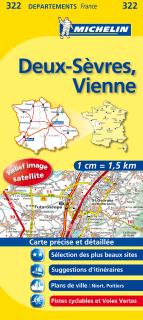
The MICHELIN Deux-Sèvres, Vienne local map, scale 1/150,000 is the ideal companion to fully explore these French local areas and provides star-rated Michelin tourist itineraries and attractions, as well as impressive 3D relief mapping. MICHELIN local maps are perfect for cyclists and outdoor enthusiasts with over 20 leisure symbols, extensive coverage of cycling paths and nature trails. With MICHELIN local maps, find more than just your way!